GEOALERTES helps you follow international news quickly and geographically: the app aggregates public French and English RSS feeds and displays recent reporting on an interactive world map so you can spot active countries at a glance. It organizes articles by country, offers fast access to original reports, and includes a bilingual interface, category filters, favorites and travel advisories to suit travelers, analysts or anyone who wants a concise global overview. Users will appreciate the map-first approach, built-in reader and read-later list that make it easy to see, filter and explore international events in minutes.
Key Features
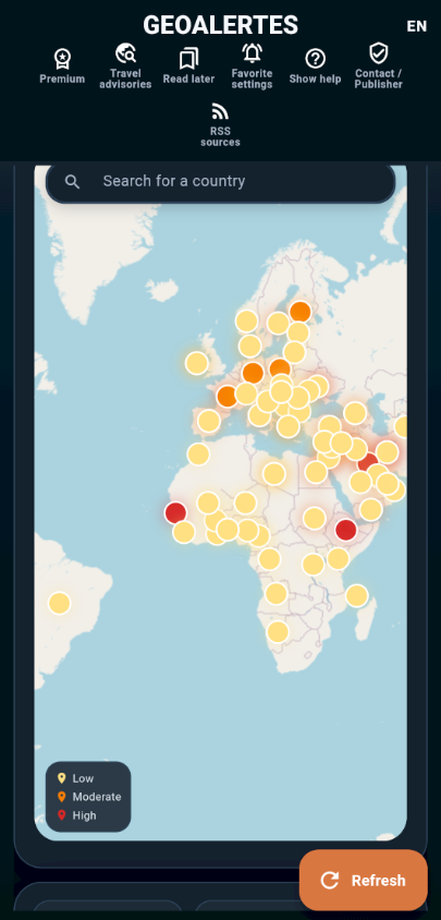
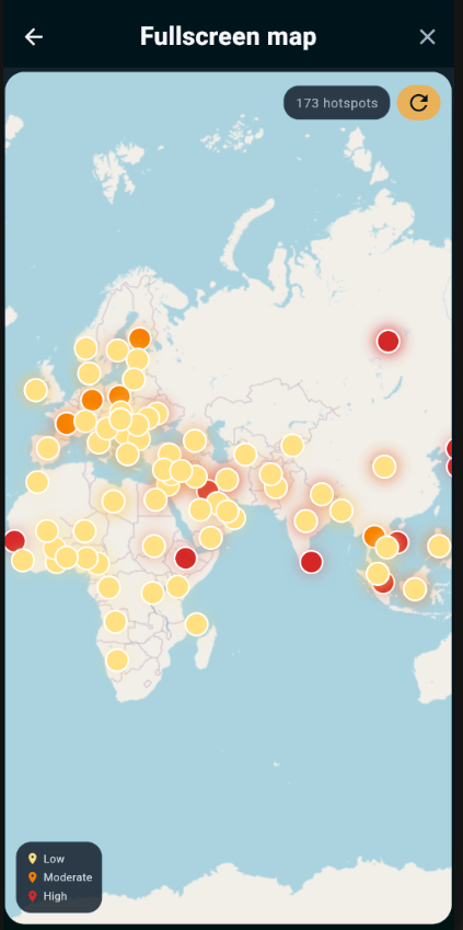
⭐ Interactive world map that highlights countries where recent news is being reported and lets you jump from a global view to country-specific alerts.
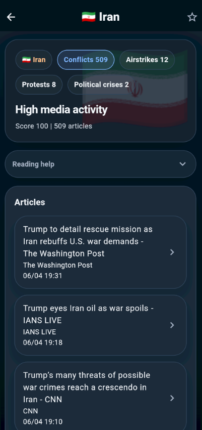
⭐ Country pages grouping detected articles with fast access to original reports sourced from public French and English RSS feeds.
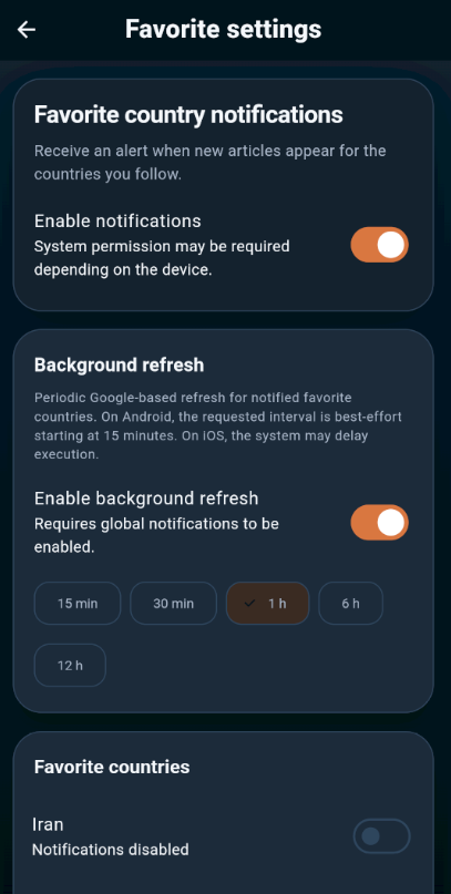
⭐ GEOALERTES offers a bilingual interface (French and English) with category filters, favorites mode and a dedicated list for favorite countries.
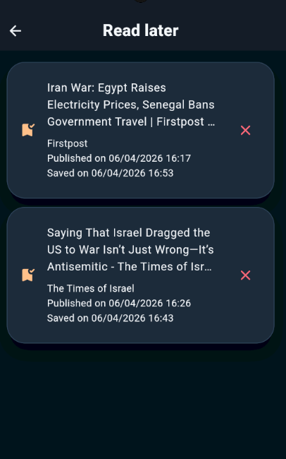
⭐ Built-in reader, save-to-Read-later list and quick sharing tools to keep and distribute stories without leaving the app.
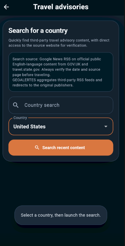
⭐ Travel advisories available directly in the app and prioritized country indicators to help you spot the most active zones.
Advantages
✅ GEOALERTES gives an immediate geographic overview so you can identify hotspots faster than scanning individual feeds.
✅ Combining French and English sources in a single interface reduces the need to switch between multiple apps or sites.
✅ Favorites, filters and a compact map-first layout make monitoring specific countries efficient for travelers and analysts.
✅ Lightweight reading experience with read-later and sharing options improves follow-up and research workflows.
Disadvantages
❎ Aggregated content comes from third-party publishers and remains under their control — the app does not produce original reporting.
❎ Some articles may cover sensitive topics such as conflicts, disasters or political crises, which could be disturbing for some users.
❎ Map markers represent countries rather than exact event locations, so geographic precision can be limited.