KFVS12 First Alert Weather puts localized meteorological data and alerts on your phone, helping you track storms and plan your day. The app delivers high-resolution radar and satellite imagery, frequent model-driven forecasts, and real-time updates so users can see where severe weather is headed and how conditions are evolving. With GPS-based location awareness and the option to save favorite locations, KFVS12 First Alert Weather keeps forecasts and warnings relevant to where you are. Push notifications for severe-weather warnings from the National Weather Service provide timely alerts, making the app useful for commuters, parents, and anyone who wants fast, reliable local weather information.
Key Features
⭐ KFVS12 First Alert Weather includes 250 meter radar, the highest resolution available for detailed storm tracking.
⭐ Future radar to visualize where severe weather is headed and monitor storm movement.
⭐ High resolution satellite cloud imagery for a clearer view of large-scale systems.
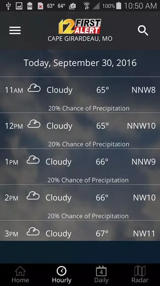
⭐ Current weather updated multiple times per hour to reflect rapidly changing conditions.
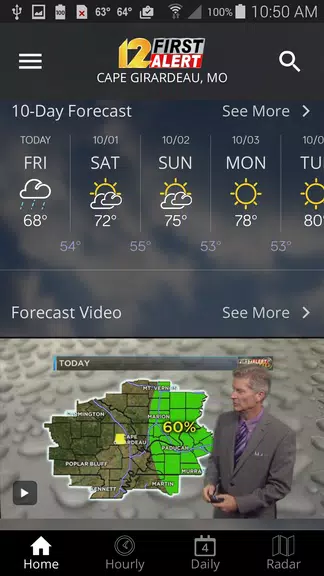
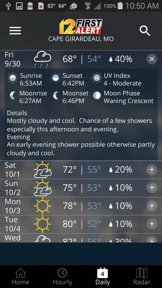
⭐ Daily and hourly forecasts updated hourly from computer models to aid planning.
⭐ Ability to add and save favorite locations plus a fully integrated GPS for accurate local awareness.
Advantages
✅ KFVS12 First Alert Weather consolidates station content and local forecasts into a mobile-focused interface.
✅ High-resolution radar and satellite views enhance situational awareness during severe events.
✅ Frequent updates and model-driven forecasts keep information current for short-term planning.
✅ Opt-in push alerts and National Weather Service warnings provide timely notifications to help keep you safe.
Disadvantages
❎ Push notifications must be enabled (opted in) to receive severe weather alerts.
❎ Location-based features require GPS permission and an enabled location service to function accurately.
❎ Severe weather alerts rely on National Weather Service bulletins and their issuance schedule.