Live Earth Map brings real-time satellite and 3D street views together with a precision GPS speedometer and odometer so you can monitor routes, speed and distance while traveling. Designed for drivers and cyclists, the app overlays a HUD-style speed readout in MPH, KPH or knots and displays live traffic, zoomable HD satellite imagery and estimated route timings. Use it to plan trips, share your exact location with friends, or preview cities and natural landscapes in detailed satellite view. If you want an all-in-one navigation and tracking utility, Live Earth Map is a practical choice.
Key Features
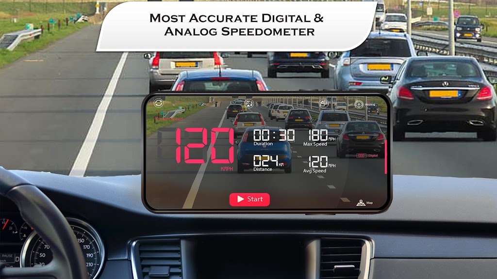
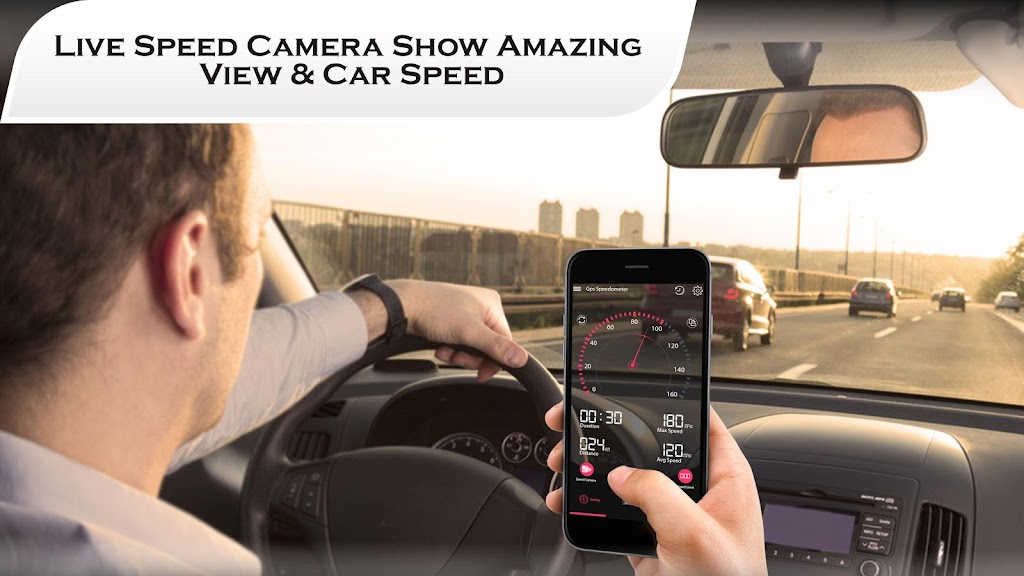
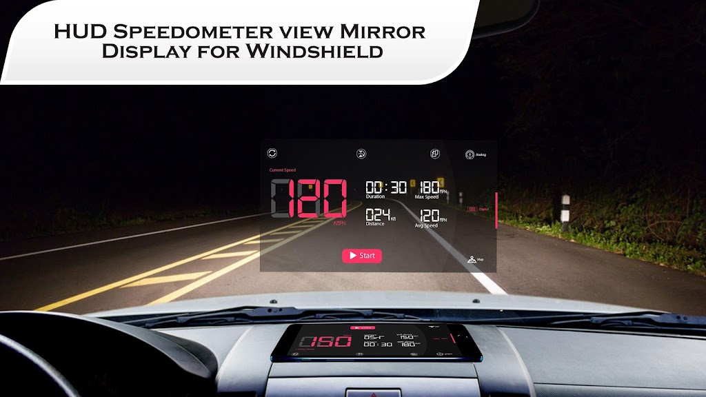
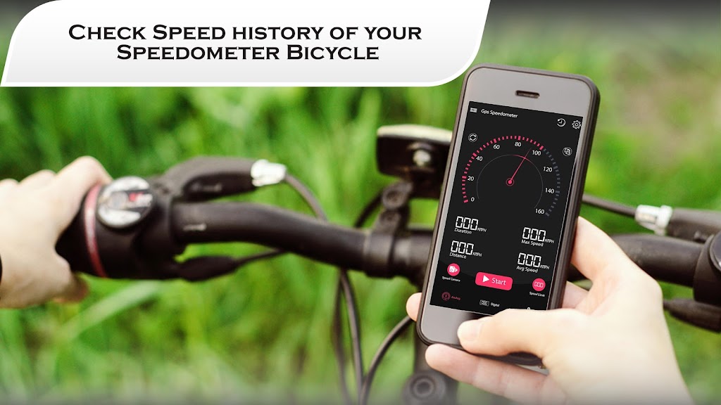
⭐ GPS speedometer and odometer with a heads-up display that shows real-time speed and distance for cars, bikes and other vehicles.
⭐ Live Earth Map's zoomable satellite and 3D street imagery in HD for exploring cities, mountains, rivers and neighborhood layouts.
⭐ Route finder with voice-guided navigation, estimated route timings and support for truck or driving routes to help you avoid congestion.
⭐ Location sharing and "find my location" tracking so you can quickly send your position to friends and family.
⭐ Digital compass and level meter for reliable orientation and horizontal alignment during outdoor or on-site activities.
Advantages
✅ Accurate HUD speed readout and odometer with multiple unit options (MPH, KPH, knots) suitable for different vehicles and preferences.
✅ High-definition satellite and street views let you preview routes and surroundings before you travel.
✅ Real-time route updates, voice guidance and estimated timings help plan trips and reduce time spent in traffic.
✅ Built-in compass, level tool and easy location sharing add practical utility beyond basic navigation.
Disadvantages
❎ Live satellite imagery and voice-guided navigation typically require a reliable data connection to function fully.
❎ GPS-based speed and tracking depend on satellite signal strength, which can be reduced in tunnels or dense urban areas.