Mapas de España is a free map viewer designed for outdoor activities and professional GIS use, offering detailed Spanish cartography for hiking, cycling, running and skiing. The app displays official map services from the National Geographic Institute and other government sources, lets you view and save maps offline, navigate using GPS without mobile coverage, and import or record routes in GPX, KML and KMZ formats. Users can follow national park trails, Camino de Santiago stages or their own tracks, plan excursions with navigation and guided tours, and rely on multilingual support and professional-grade map services.
Key Features
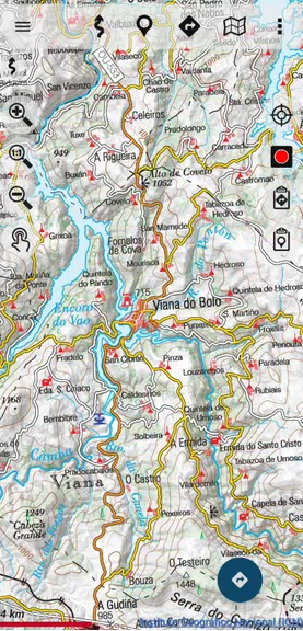
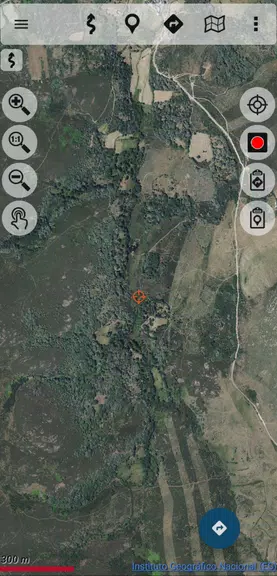
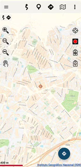
⭐ Mapas de España uses official cartography from the National Geographic Institute and other government sources for accurate topographic detail.
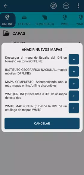
⭐ Offline maps: save tiles and databases in advance to navigate without mobile coverage.
⭐ GPS positioning and track recording directly on IGN maps, including speed, heading and altitude display.
⭐ Import and export routes and tracks in GPX, KML and KMZ formats for easy data exchange.
⭐ Supports IGN WMS and WMTS services and functions as a WMS viewer for advanced GIS workflows.
⭐ Place search via CartoCiudad services and a multilingual interface in Spanish, Catalan, Galician, Basque and English.
Advantages
✅ Mapas de España delivers professional-grade maps suitable for both outdoor recreation and institutional field work by emergency services and technicians.
✅ Offline capability and native GPS support keep navigation and tracking functional even without cellular signal.
✅ Broad format support and WMS compatibility make it interoperable with standard GIS tools and data exchanges.
✅ Multilingual menus and guided-route features simplify planning excursions and following established trails like the Camino de Santiago.
Disadvantages
❎ Some official map catalogs are very large and require access to public storage; managing tens or hundreds of gigabytes may require extra permissions.
❎ Offline use depends on pre-downloading maps, so areas not saved in advance will not be available without a connection.
Development Team
Mapas de España is based on OruxMaps software and is produced by the Spanish public body responsible for national cartography; it follows official publication identifiers and is used by state professionals including police, forest guards and firefighters.
NIPO: 162190330.