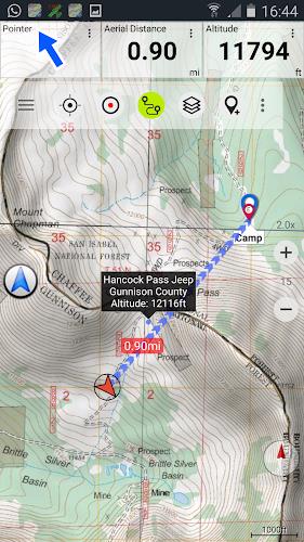
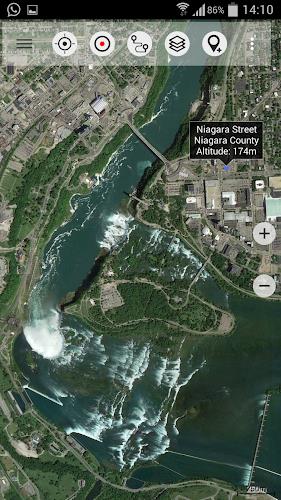
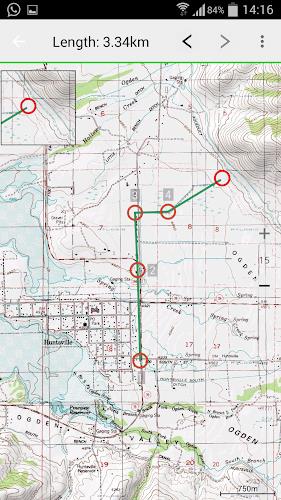
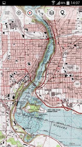
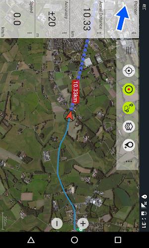
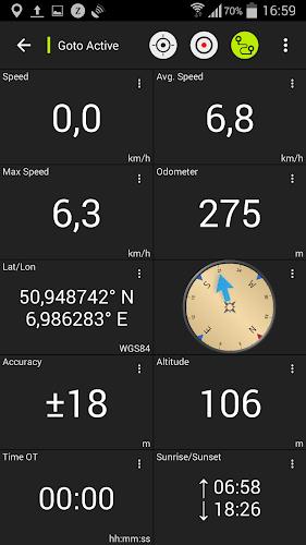
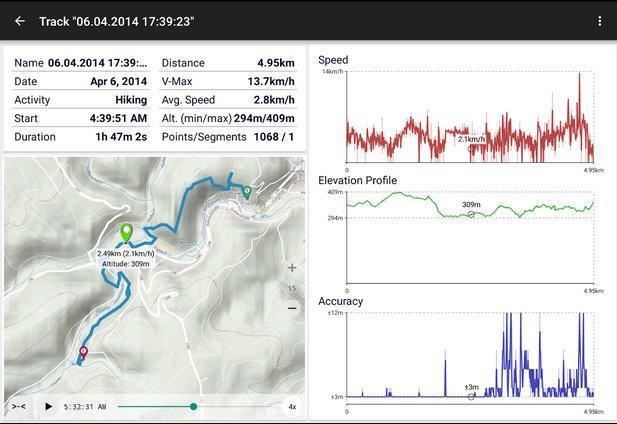
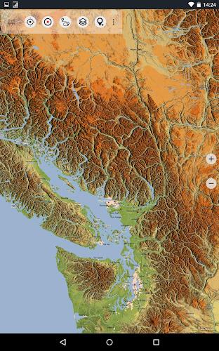
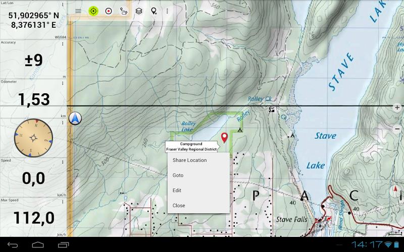
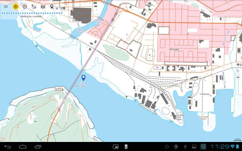
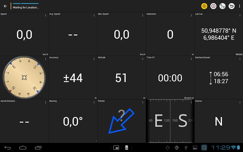
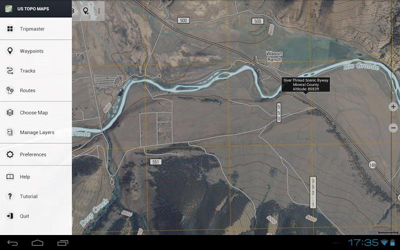
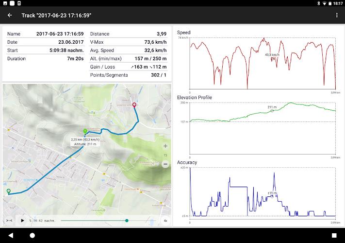
Discover Canada Topo Maps is the ultimate outdoor navigation app that provides you with the best topographic maps of Canada. This user-friendly app offers similar mapping options as Garmin or Magellan GPS handhelds. With Discover Canada, you can easily create and edit waypoints, navigate to them, and even create and edit routes. It also features track recording with detailed information such as speed, elevation, and accuracy profile. The app allows you to import and export GPX and KML files, search for placenames and POIs, and customize datafields in the map view. Whether you're hiking, biking, camping, or skiing, this app is the perfect companion for all your outdoor adventures. Plus, you can preload map data for areas without cell service. With Discover Canada, exploring the great outdoors has never been easier.
Features of Canada Topo Maps:
- Bulk-download of map tiles for offline usage (not available in the free version)
- Ability to create and edit waypoints
- GoTo-Waypoint-Navigation feature
- Route creation and editing
- Track recording with speed, elevation, and accuracy profile
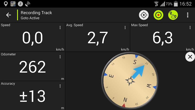
- Tripmaster with fields for odometer, average speed, bearing, elevation, etc.
Conclusion:
This Canada Topo Maps app offers the best topographic maps of Canada. It provides features similar to Garmin or Magellan GPS handhelds, allowing users to download map tiles for offline use, create and edit waypoints, navigate to waypoints, create and edit routes, record tracks with detailed information, and use a tripmaster with various data fields. Other features include GPX and KML import/export, search capabilities, customizable data fields, and the ability to share waypoints, tracks, and routes. With various map layers available, including the most recent topographic maps of Canada, this app is perfect for outdoor activities such as hiking, biking, camping, and more.

